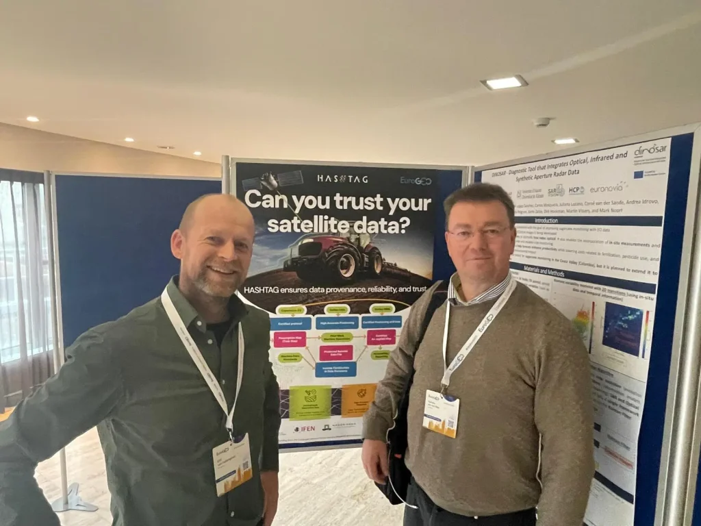
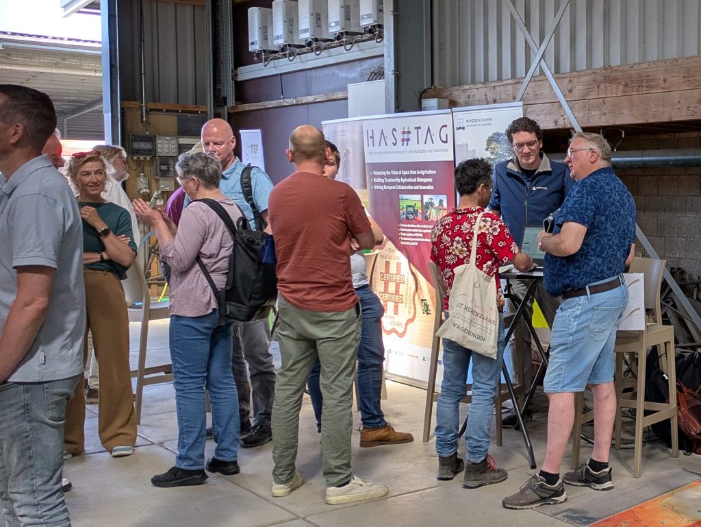
From 13-15 October, HASHTAG coordinator Tamme van der Wal from AeroVision B.V. and Eric van Valkengoed from TerraSphere represented the HASHTAG project at EuroGEO Workshop held at the World Forum in Hague, Netherlands.
The annual gathering, jointly organised by the European Commission, the EuroGEO Secretariat and the Netherlands Space Office, brought together policymakers, researchers, industry and innovators to advance Europe’s contribution to global Earth observation.
HASHTAG was represented with a poster that posed a question central to the project’s mission: “Can you trust your satellite data? “
It’s a question that matters more than it might seem. Farmers, agronomists and certifying bodies increasingly rely on satellite data – from Copernicus imagery to GNSS positioning – to guide field operations, verify crop treatments and report on sustainability. But who guarantees that the data is accurate, unaltered, and traceable?
The poster illustrated how HASHTAG addresses this challenge end-to-end: from a certified protocol for interpreting Copernicus EO imagery and standardised machine data formats, through field operations protected by reliable data files, to certified as-applied maps validated using Galileo’s High Accuracy Service (HAS) and Navigation Message Authentication (NMA). The result is a transparent, verifiable chain – from satellite observation to on-field action – that supports trusted data flows, certified EO data, high-accuracy navigation, and real-world validation through international pilots in Europe and beyond.
The EuroGEO Workshop is a key venue for connecting EU-funded research to global Earth observation priorities. Presenting HASHTAG there placed the project squarely at the intersection of precision agriculture, satellite technology, and the push for data standards that the sector urgently needs.
Tamme van der Wal shared during the event:
“More and more decisions rely on satellite data – especially when humans are out of the loop, as with robotics and AI. That’s why we need authentication, traceability and trust across the entire data value chain.”
This message resonated across sessions, reinforcing a key insight from the workshop: the real value of Earth Observation lies in its applications – and that starts with the user.